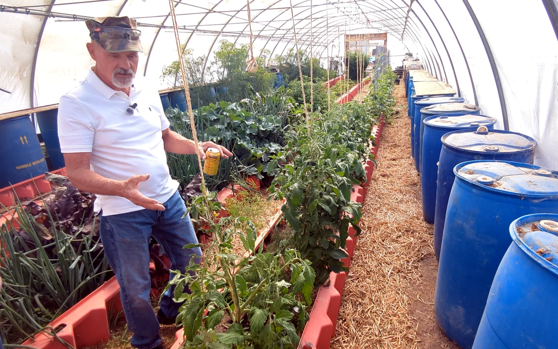
Join Riverbed Ranch founder, Philip Gleason, and resident Jesse Fisher for an unofficial tour of the Utah OSR Land Co-op’s 1,245-acre Riverbed Ranch community, where the co-op has started building a 250-family self-reliance community and where many of our 130+ members are already constructing wells, homes, and barns!
The tour typically includes community buildings, a drive through town pointing out various types of construction, and a tour of Gleason’s and Fisher’s homesteads. Optional are stops to see some animals one or two residents are raising (goats, hens, sheep, turkeys, etc.)
• Guided tour starts at about 11am.
• Bring a sack lunch (and snacks & quiet activities, if you’re bringing children).
• Drinking water, restrooms and limited cell service available.
• Plan for 2 hours each way if coming from Utah County.
CRUCIALLY IMPORTANT:
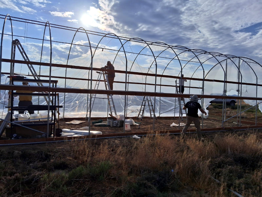
• RSVP by registering for a ticket so we know for whom to go looking for if you get lost.
• If you’re relying on Google maps on your phone (and not GPS in your car), be sure not to browse away from Google maps, you may not be able to get back to the directions).
• Unless you have new tires, we’d recommend you only drive 30 to 35mph on the gravel roads. Probably be wise to make sure your spare tire is good, and you have a jack and lug wrench. AND, I’d pick up one of those $9 flat repair kits at AutoZone — just in case!
• If you come upon a herd of sheep blocking the road, just drive slowly towards them and they’ll move out of the way. Also, in the late Fall, avoid the axle-cracking sand pits (they are lighter in color than the surrounding road).
• Please register. If you don’t, the tour coordinator (Jesse) will be tempted to stay home and clean out his shipping container.
If coming from Northern Utah County or points north of that:
• Use Google or Apple Maps and search for “Utah OSR Land Co-op”, click the map, and select “Directions”.
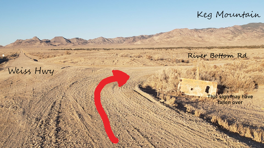
The map will eventually get you onto the Pony Express Trail road heading West. Eleven miles passed Simpson Springs campground (which has a bathroom, by the way), you’ll turn left/South as you approach the hill in the picture below. Hopefully, our street sign (River Bottom Rd) will still be there. After turning, go 7 miles to our 12′ tall green gate on the left. Go through and park in front of the the green Welcome Center and come inside.
• An option is to meet other visitors to caravan out. Meet at the Walmart in Saratoga Springs at 8:45am, in the Southwest corner of the parking lot. Put a sheet of paper with “OSR” printed large & bold in your front dash so you can recognize each other. Then whoever has google maps can take the lead, but don’t go over 35mph on the rock roads unless everyone has off-road tires. And, stay far enough behind each other that you’re engine is not sucking in the dust cloud of the car ahead of you.
Oh, and keep your eyes peeled for wild horses along the way!
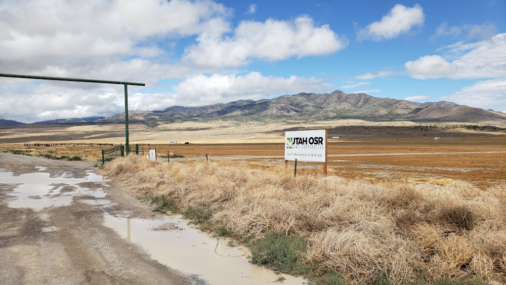
And here’s the gate you’re looking for:
If coming via Southern Utah County:
- Before leaving home, use Google maps to search for “Utah OSR Land Co-op”, click the map, and then “Directions”, type in your town, and follow the directions. Unless you’re an Adrenalin junky, best to slow down on the curves. Oh, and watch out for sheep, cattle, and antelope.
- Google Maps (and maybe Apple Maps) will try to take you on 6 Mile Road. Unless you have beefy off-road tires, it’s probably best to pass that turn and go 7.8 miles further and turn right (North) onto River Bottom Rd. (Sorry, someone stole our street sign there! 🙁
- In 8.5 miles from the turn, you’ll see the OSR sign pointing left to our Welcome Center a couple of miles further. Keep following the road around the fence until you see our 12′ high gate towards the North end of Riverbed Ranch. Pass through and park in front of the green Welcome Center and come inside!
- Seriously, watch out for sheep, cattle, and antelope.
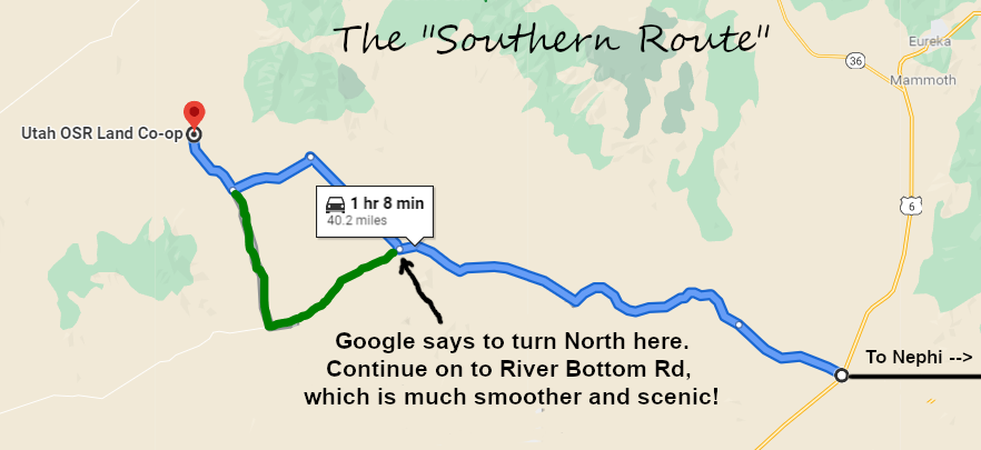
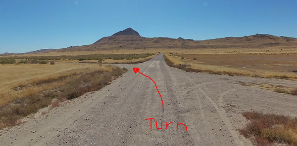
Watch for this turn: